Map Gallery
-
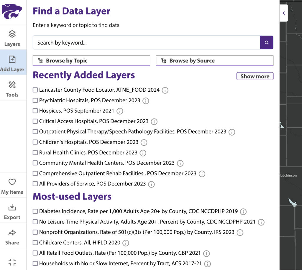
Access more than 30,000 data layers from 120+ state and national sources in the Kansas Map Room.
-
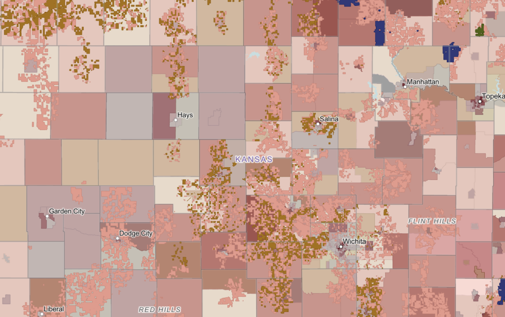
View areas across Kansas funded for broadband expansion alongside access data.
-

View rates of households considered to be housing cost-burdened with average rent costs and poverty.
-
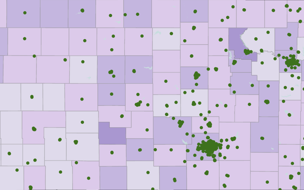
View areas considered cost burdened and locations of childcare centers.
-
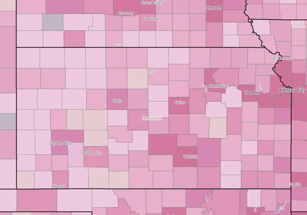
View business “churn” by county. Explore business births and deaths alongside churn rates by county.
-
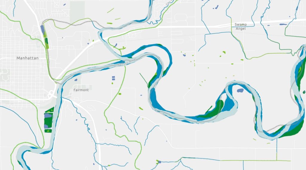
Explore the National Wetlands Inventory across Kansas, as well as watershed boundaries.
-
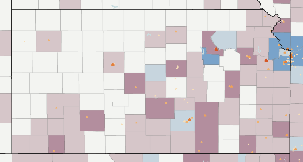
Explore “brain drain” across Kansas. View rates of net migration among young adults age 20-39 from 2010 to 2020 alongside higher education facilities.
-
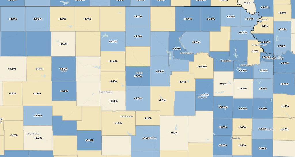
Explore net employment change by county. Toggle job creation and destruction data to explore related factors.