Map Gallery
-
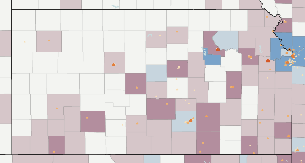
Explore “brain drain” across Kansas. View rates of net migration among young adults age 20-39 from 2010 to 2020 alongside higher education facilities.
-
Explore the Child Opportunity Index by census tract or county. Learn more about how neighborhood conditions influence healthy development in children.
-
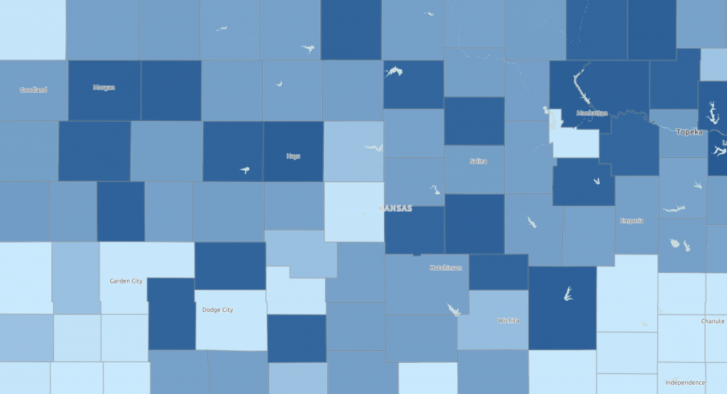
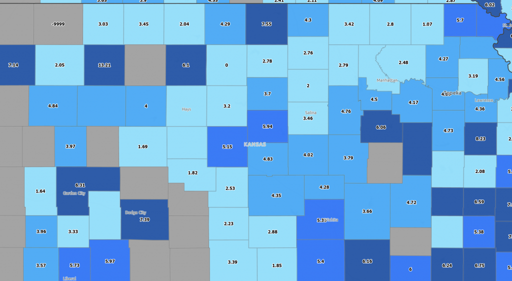
View the average number of days businesses have been vacant by Census tract.
-
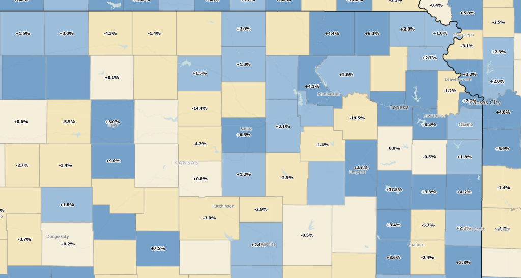
Explore net employment change by county. Toggle job creation and destruction data to explore related factors.
-

View broadband access and farms using precision agriculture techniques by county.
-
How strong are your county’s personal finance skills? View debt and delinquency data by category: credit card, automobile, student loans, and medical.
-
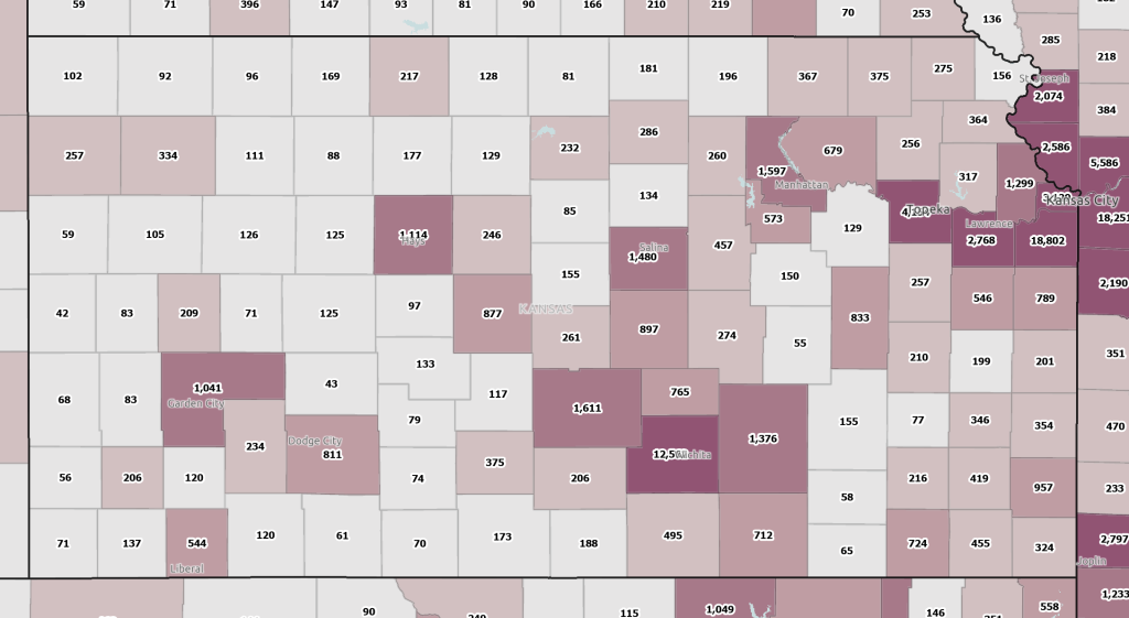
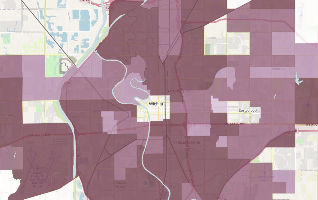
How many businesses are in your area? Use this map to view rates of business establishments by county and ZIP code.
-

Explore selected assets across Kansas.