Map Gallery
-
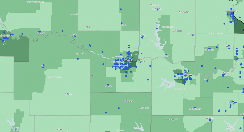
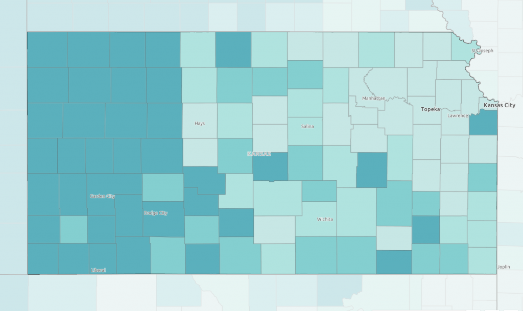
View SNAP-authorized retailers, farmers markets accepting SNAP benefits, and households receiving SNAP benefits to identify areas of need.
-
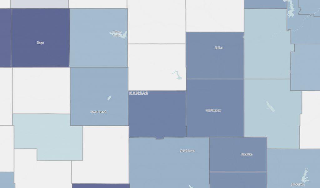
Explore food business prevalence by type. See how many fast food restaurants, convenience stores, supermarkets, and food specialty stores exist in your county or ZIP code.
-
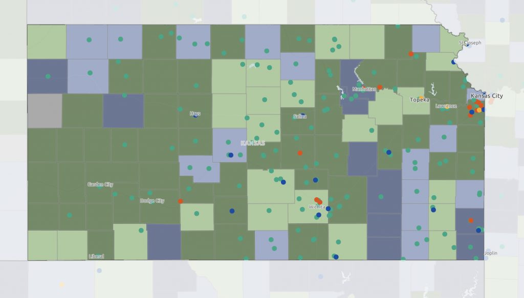
Learn more about food waste facilities and food environment scores with this map.
-
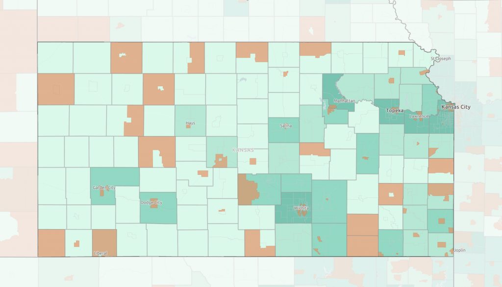
Explore rates of food security by county alongside census tracts designated as food deserts.
-
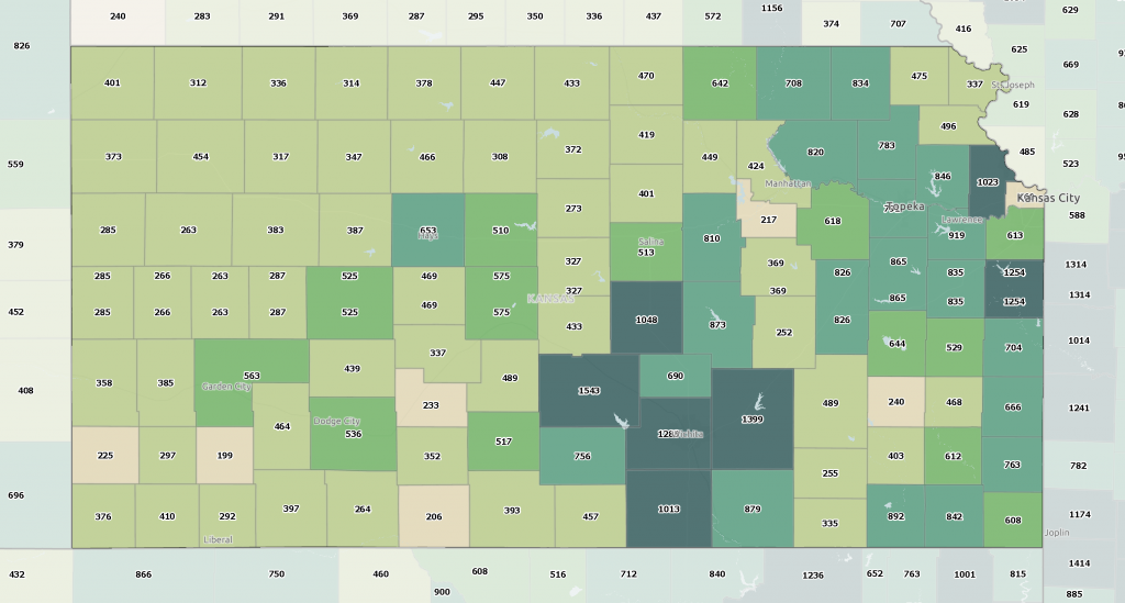
How does farm income stack up around the state? View this map to learn more about average farm income by farm and county.
-
How many farms are in your county? Click the map to get data for your county.
-

Learn more about the types of commodity crops planted and harvested in Kansas. Review data for corn, soybeans, winter wheat, and sorghum.
-
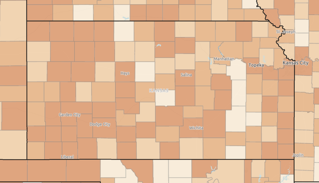
Explore average income levels of non-farm proprietors across the state.